
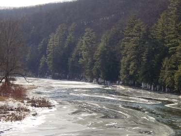
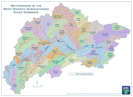
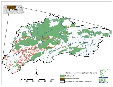
The West Branch Susquehanna Watershed
The West Branch Susquehanna watershed is located in north central Pennsylvania and drains an area of approximately 7,000 square miles or 4,466 million acres. It is the largest of the six river basins that make up the Susquehanna River drainage. The West Branch Susquehanna River and its tributaries flow through 13 counties and the watershed contains approximately 1.4 million acres of state forest land, 250,000 acres of state game land, and 29,000 acres state park land.
The watershed is truly a gem nestled in the Commonwealth’s interior that has the tremendous potential to provide a mecca of outdoor recreational opportunities. Unfortunately, that potential is impacted by the pollution and other problems left behind from historic unregulated coal mining activities that once provided a boon to the local industry and communities.
The legacy that remains today is in the form of abandoned mine drainage (AMD), which is the cause for 57% of the pollution to the West Branch’s impaired waterways. More than 1,000 miles of the main stem and tributaries have documented AMD impairment.
|
|